Projects
From small-scale surveys to large-scale subdivisions, our experienced team of registered surveyors work on a wide range of land surveying & spatial projects, spanning the Coffs Coast and Clarence Valley.
Below is a sample of some of our recent projects.
Client
DMGG Properties
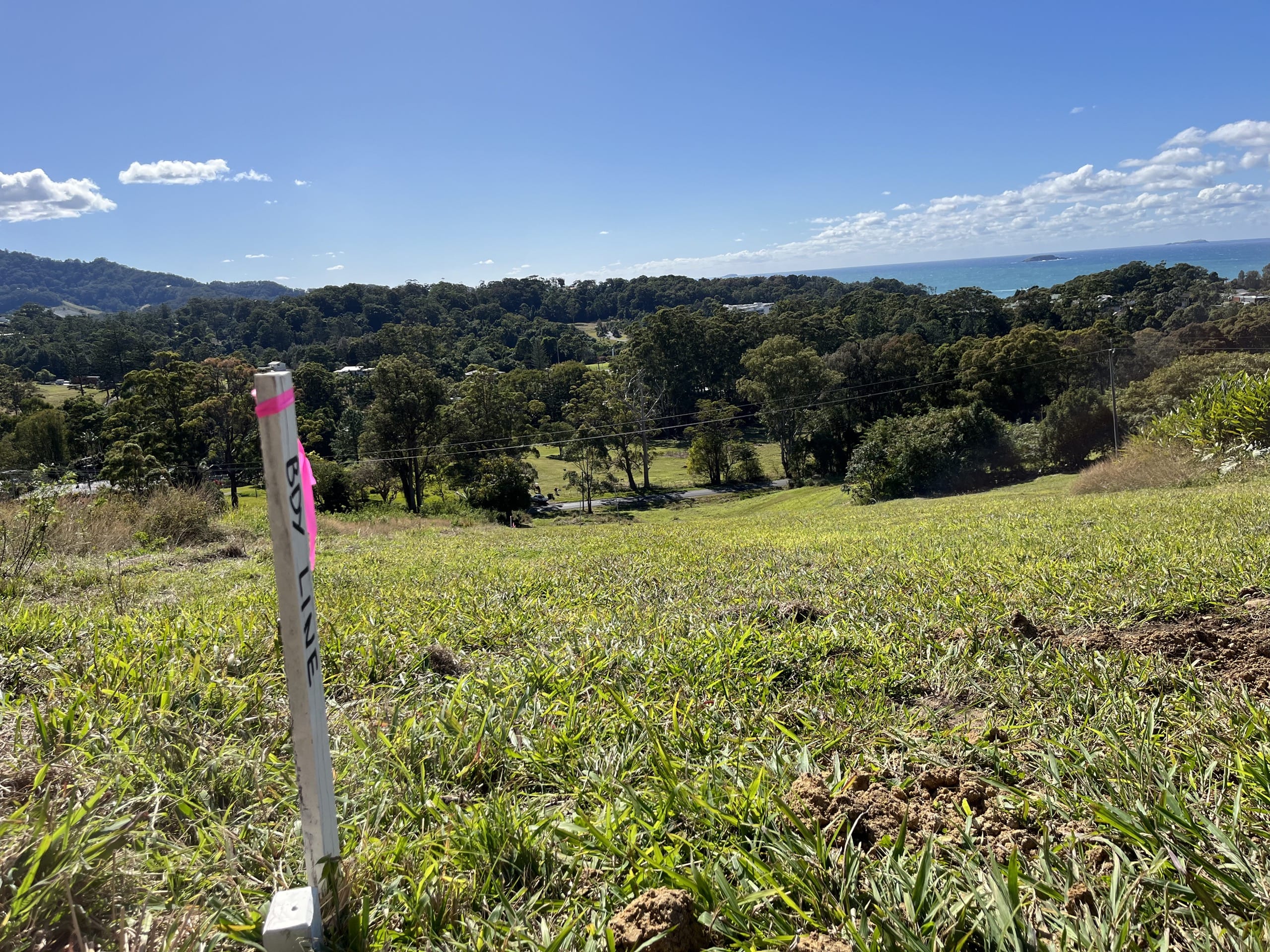
Project – Land Subdivision
Location – Dorrigo
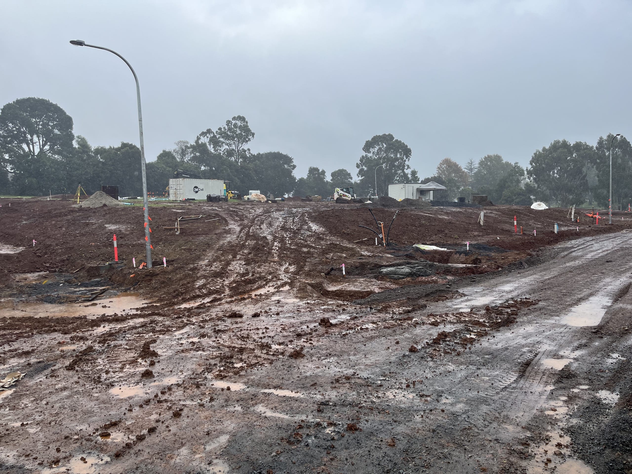

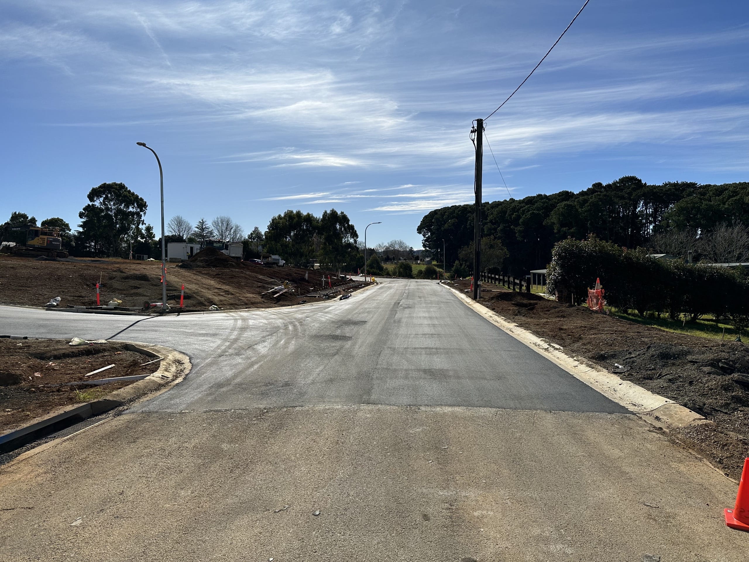
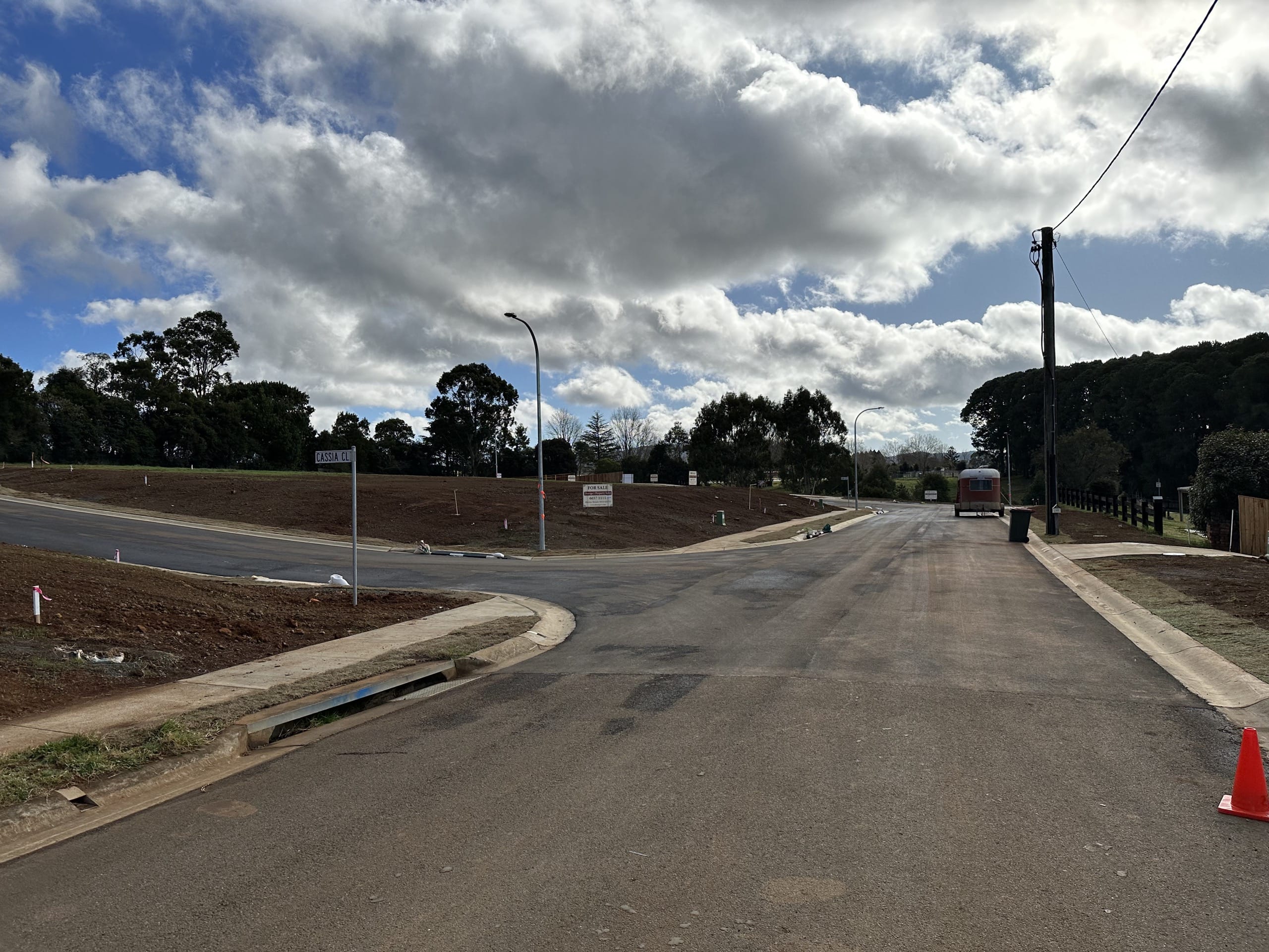
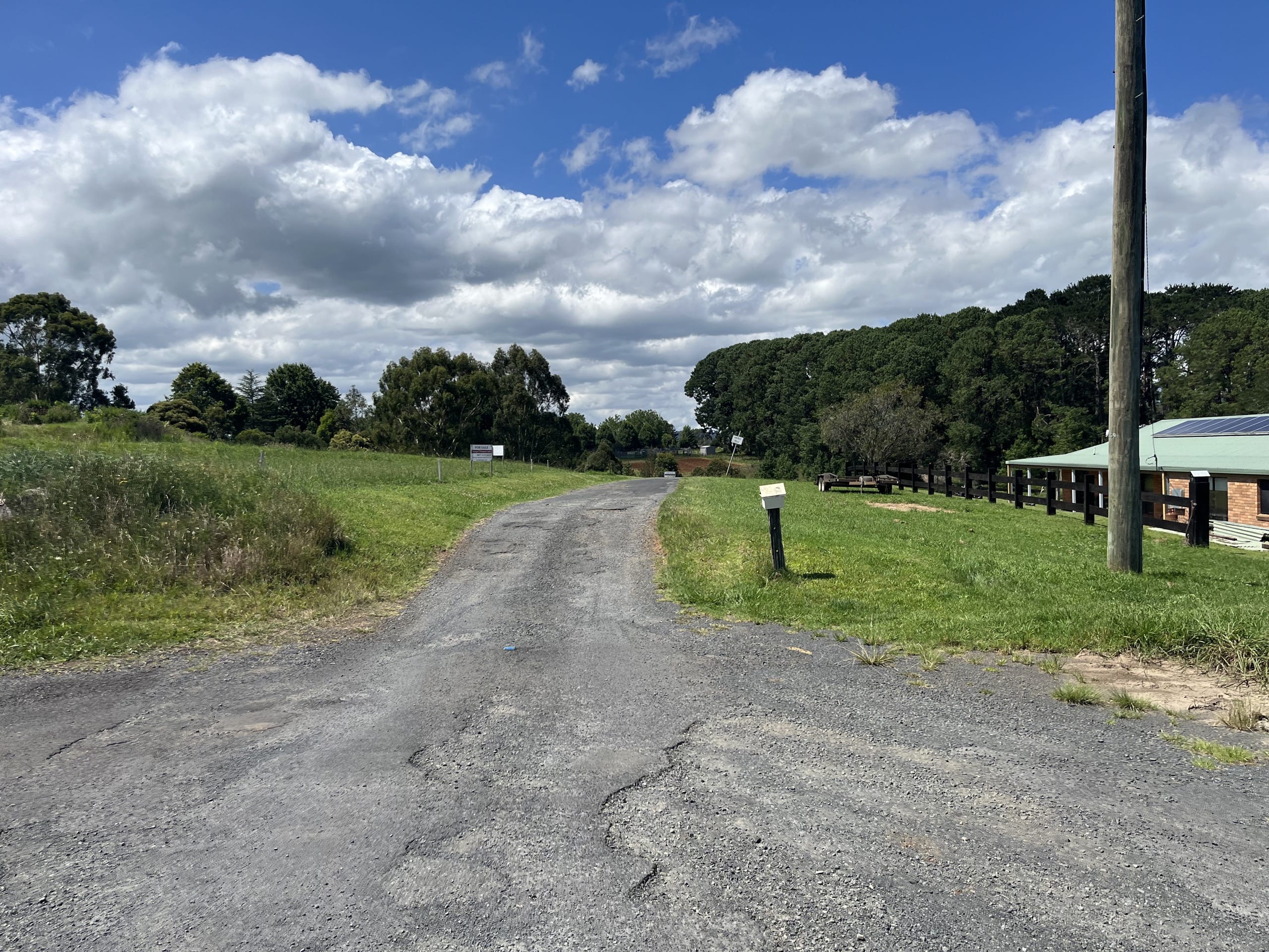
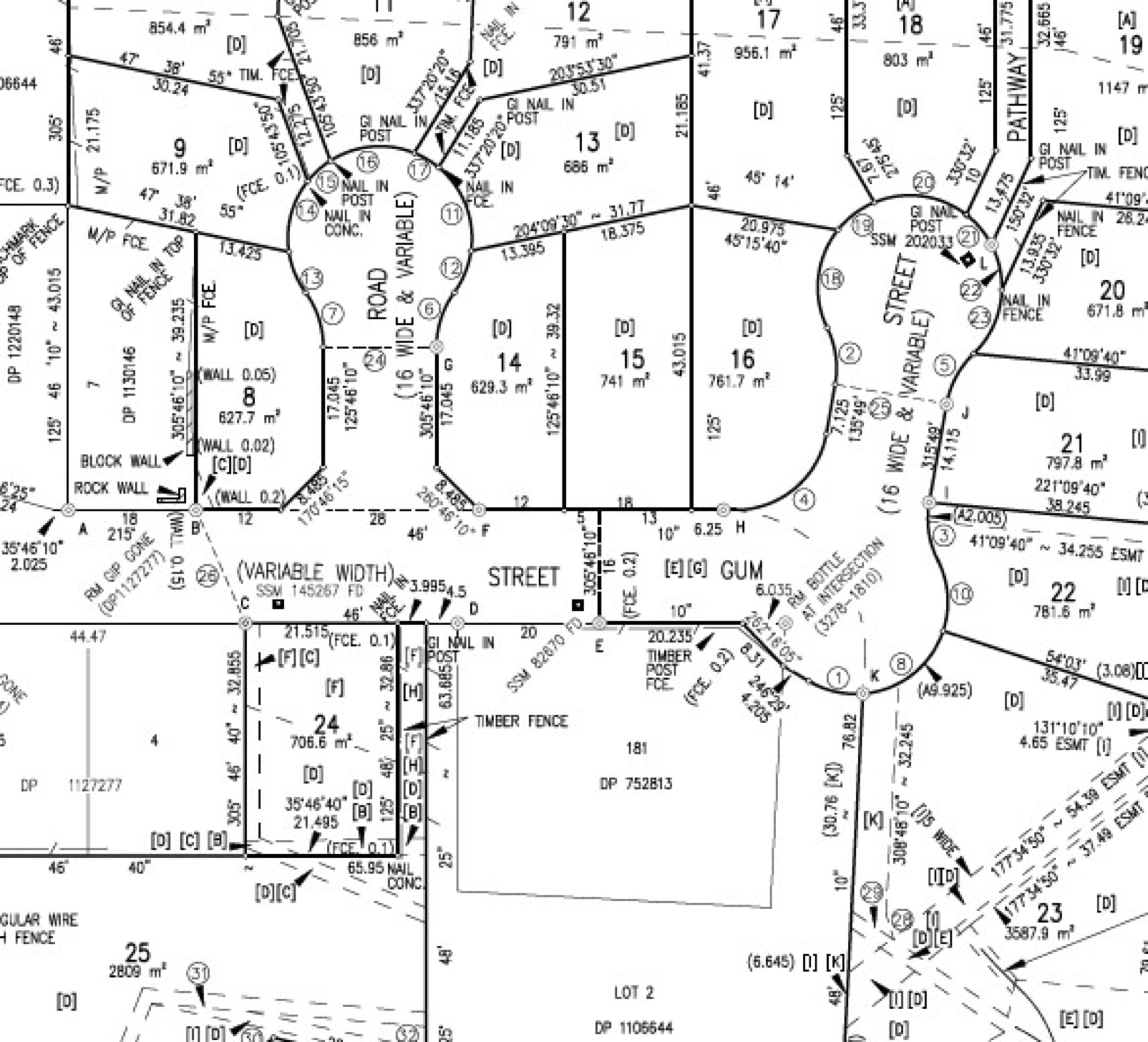
Embarking on an exciting journey, Coffs Clarence Surveying and Spatial partnered with DMGG Properties and OM Civil showcasing its ability in land subdivision, construction set-out and machine guidance set-up for an 18-lot subdivision project in the heart of Dorrigo.
In the face of historical site design challenges from 2004, limited electronic design information was made available to establish the site to get things up and running. This allowed Coffs Clarence Surveying and Spatial to demonstrate its adaptability drawing on its extensive experience using both traditional and modern-day technology.
From Registered Surveying, Engineering set-out, and machine guidance set-up, the project demonstrates there are no limitations to the surveying services we offer, making us the go-to partner for projects with diverse needs.
Client
Big Banana
Project – Site Surveyor
Location – Coffs Harbour
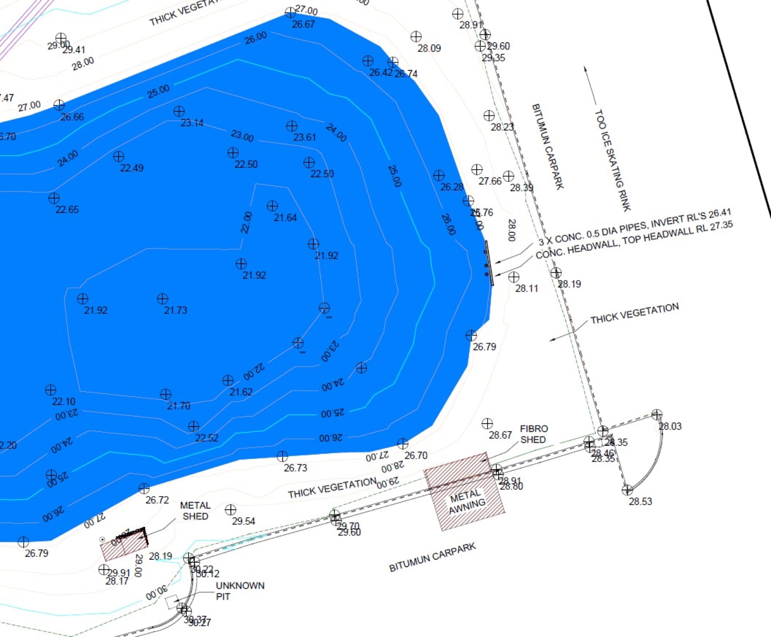
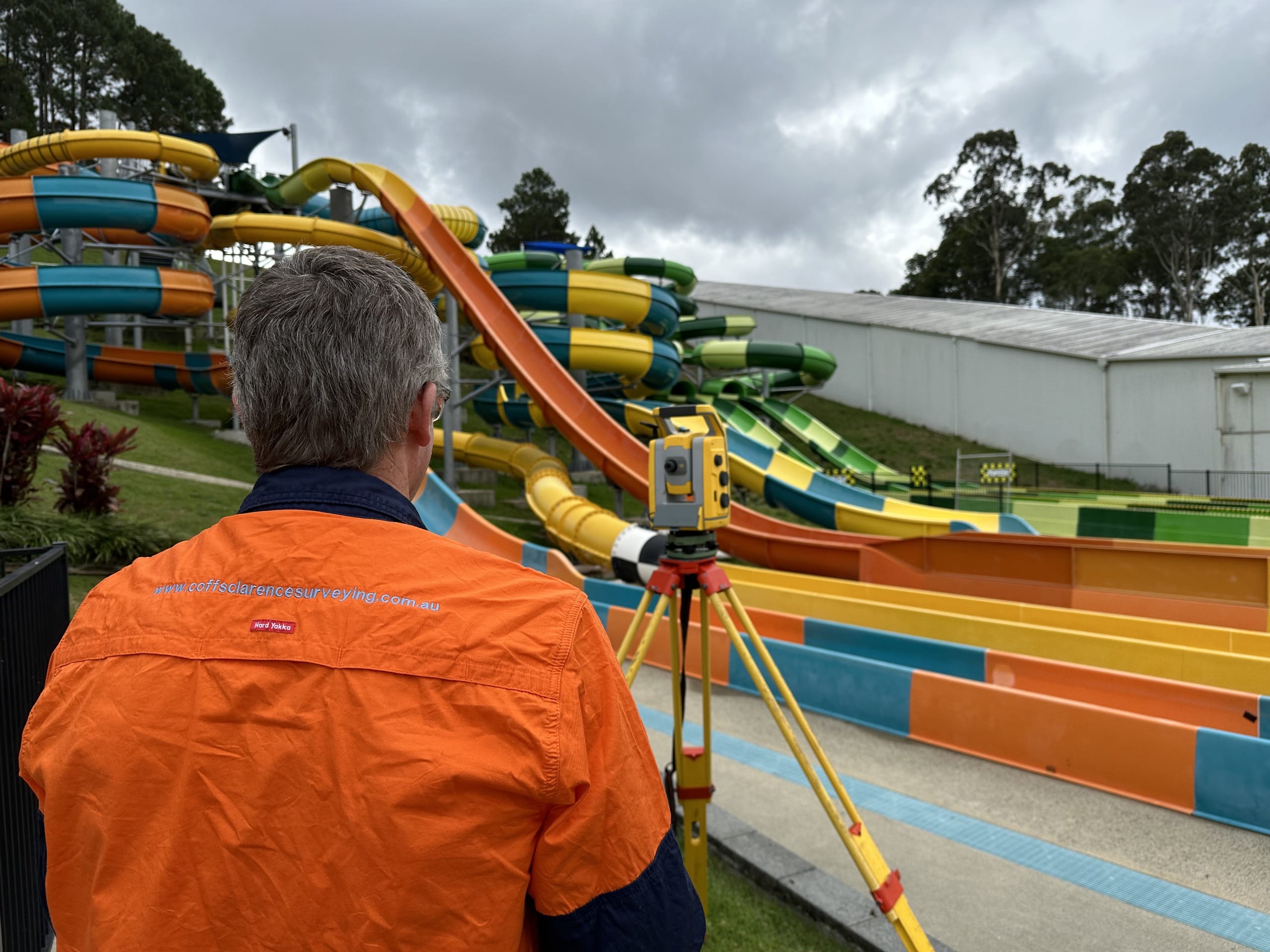
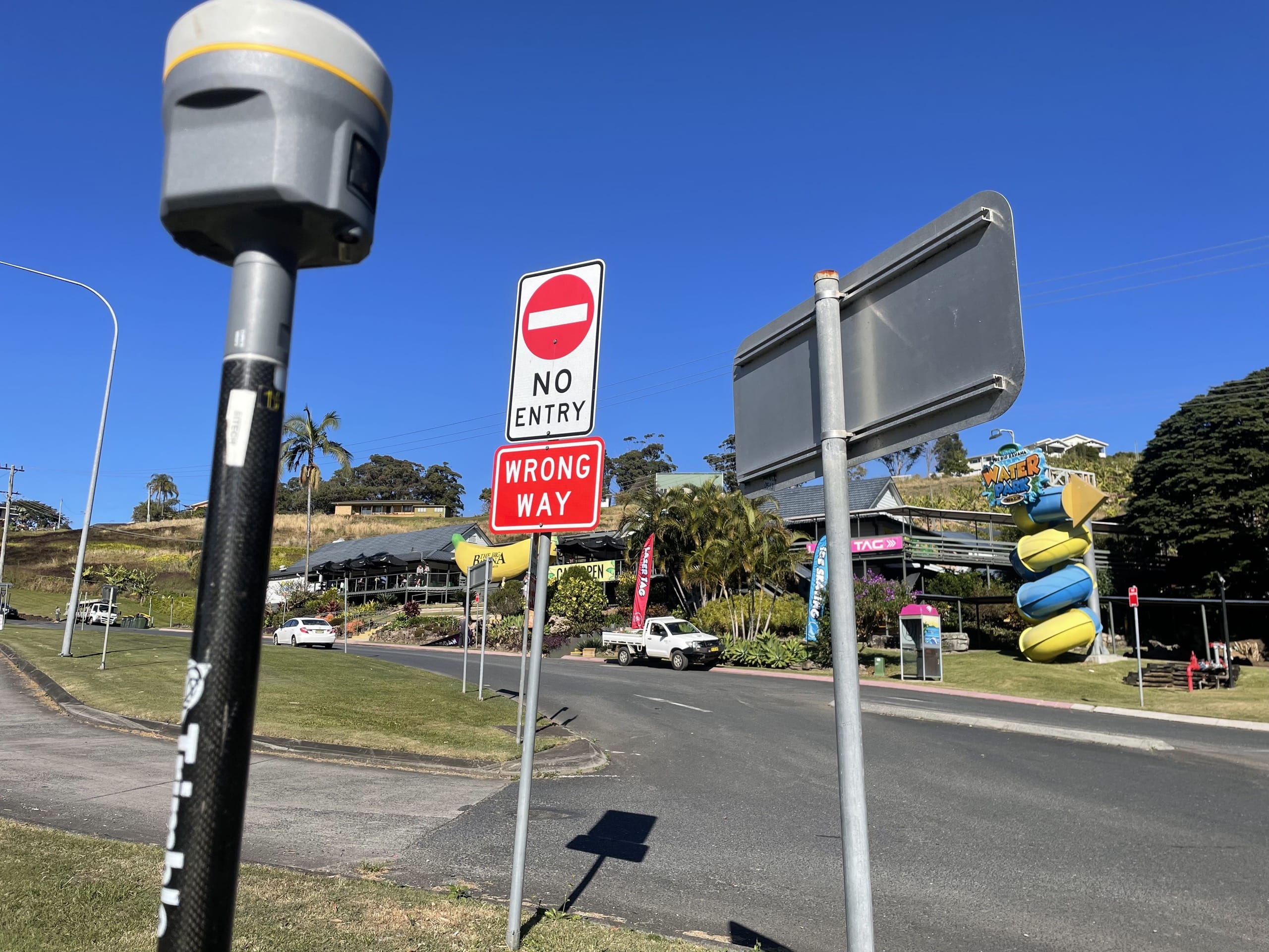
There is nothing more iconic to the Coffs Coast than the Big Banana! This is why we are very proud to be providing a large range of Surveying solutions to the development and enhancement of the Big Banana. From Dam surveys to boundary alterations based on Community title, we have fulfilled all surveying needs required for this busy fun park.
Client
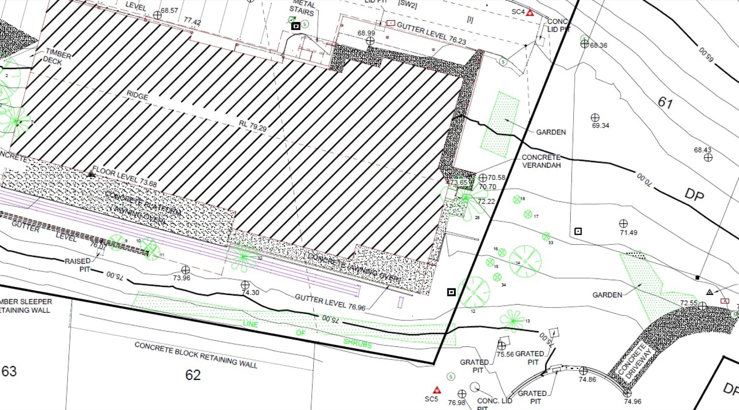
Primer Building & Construction
Project – Civil Mart
Location – Grafton
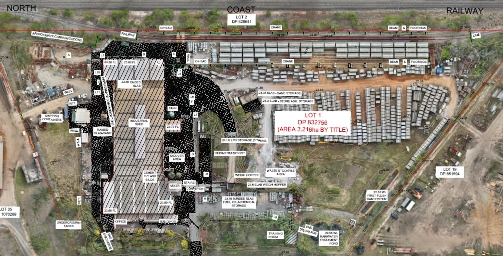
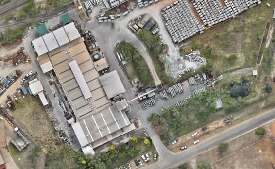
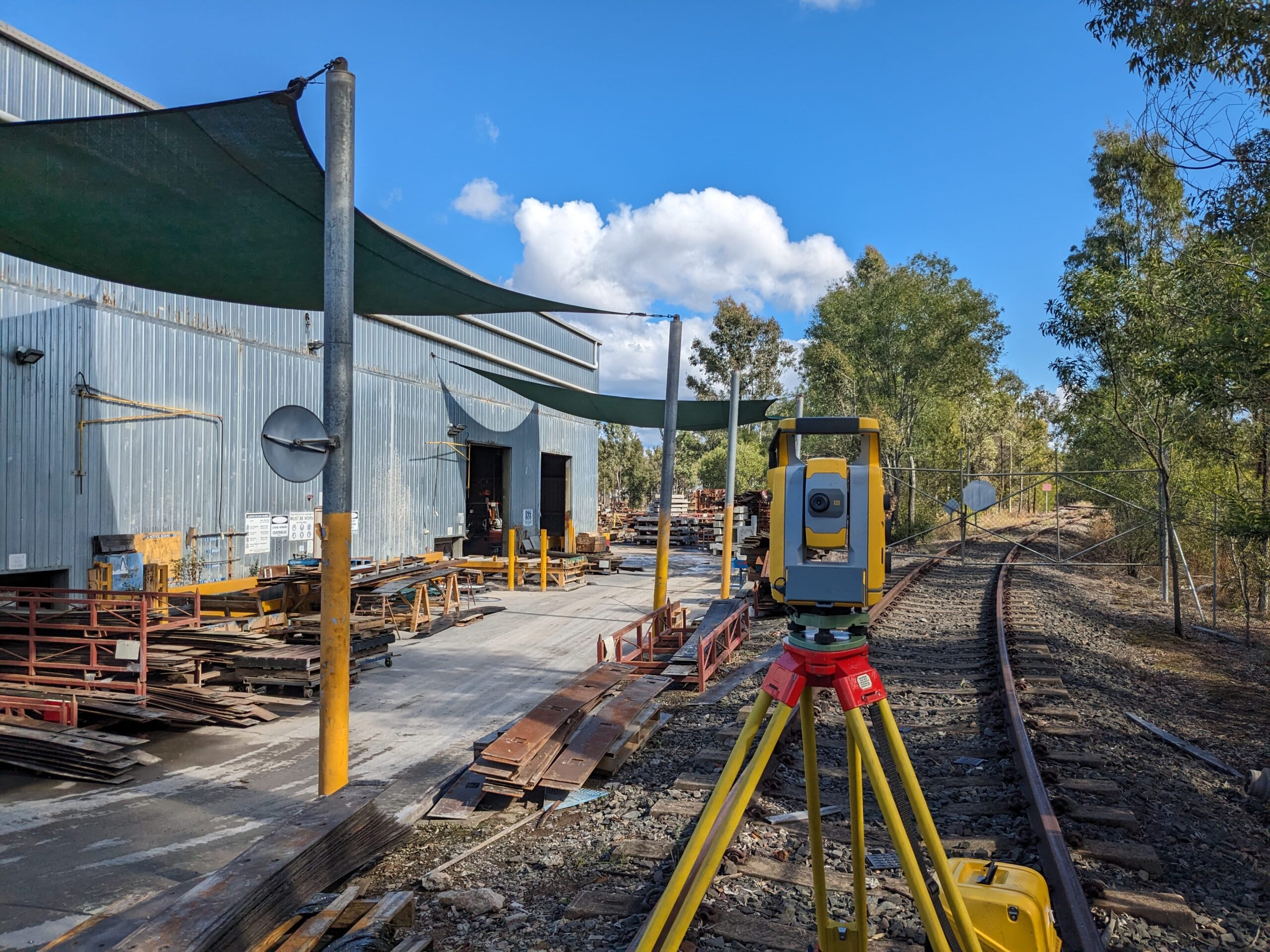
In support of the prospective improvements to the Civil Mart factory in Grafton, Coffs Clarence Surveying and Spatial played a pivotal role by conducting a comprehensive detailed and topographical survey of the site. The survey was further enriched by the utilisation of contemporary aerial imagery, captured through our advanced drone technology.
Executing a survey within a bustling factory environment presented inherent safety challenges, with numerous identified hazards requiring careful consideration. Coffs Clarence Surveying and Spatial prioritised safety measures, working in close collaboration with the client to mitigate risks effectively. The seamless coordination ensured that all surveying activities were executed without causing disruptions to the ongoing operations of the busy factory.
Client
Crown Lands
Project – Crown Land Identification Surveys
Location – Palmers Island/Yamba
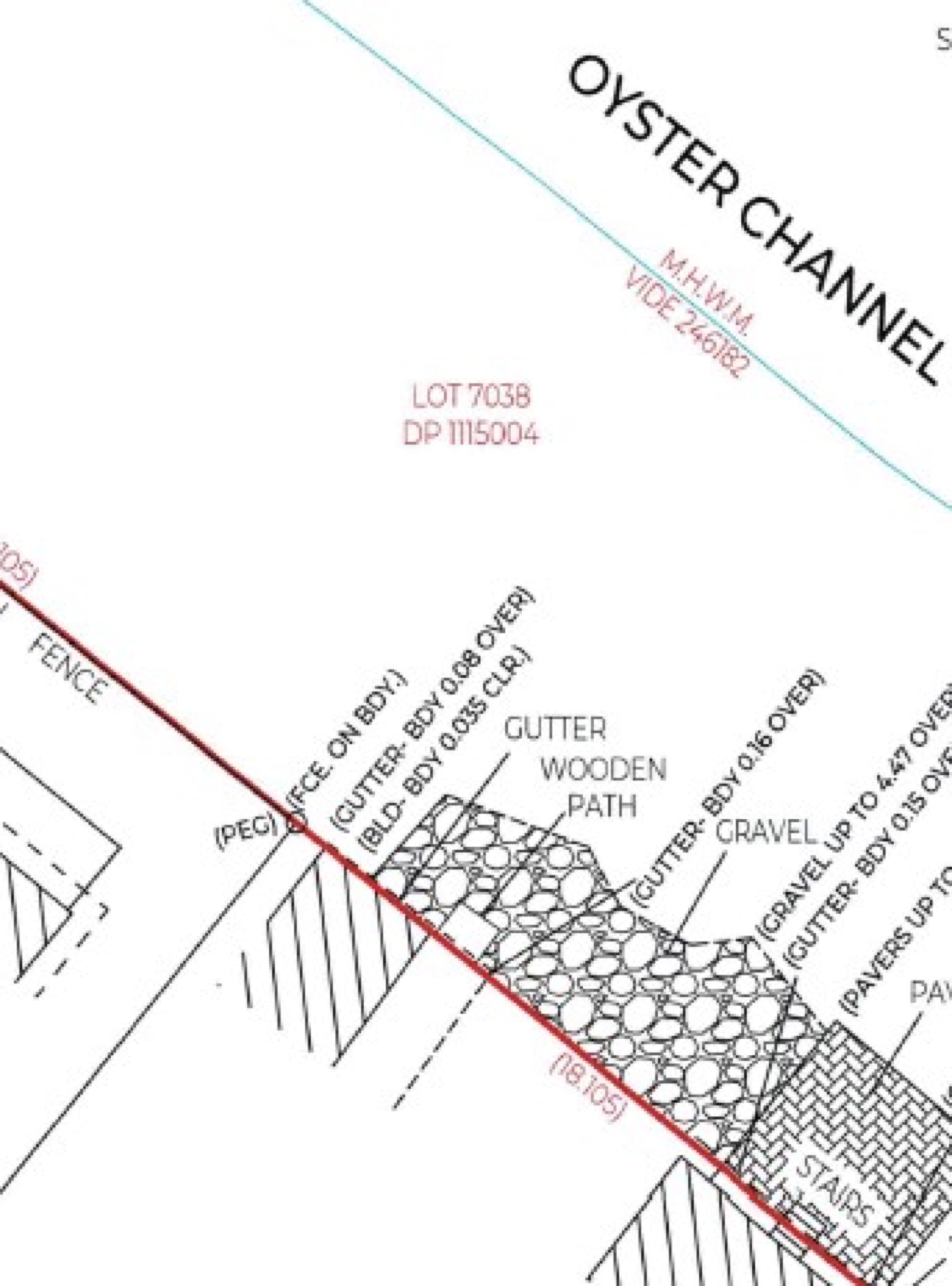
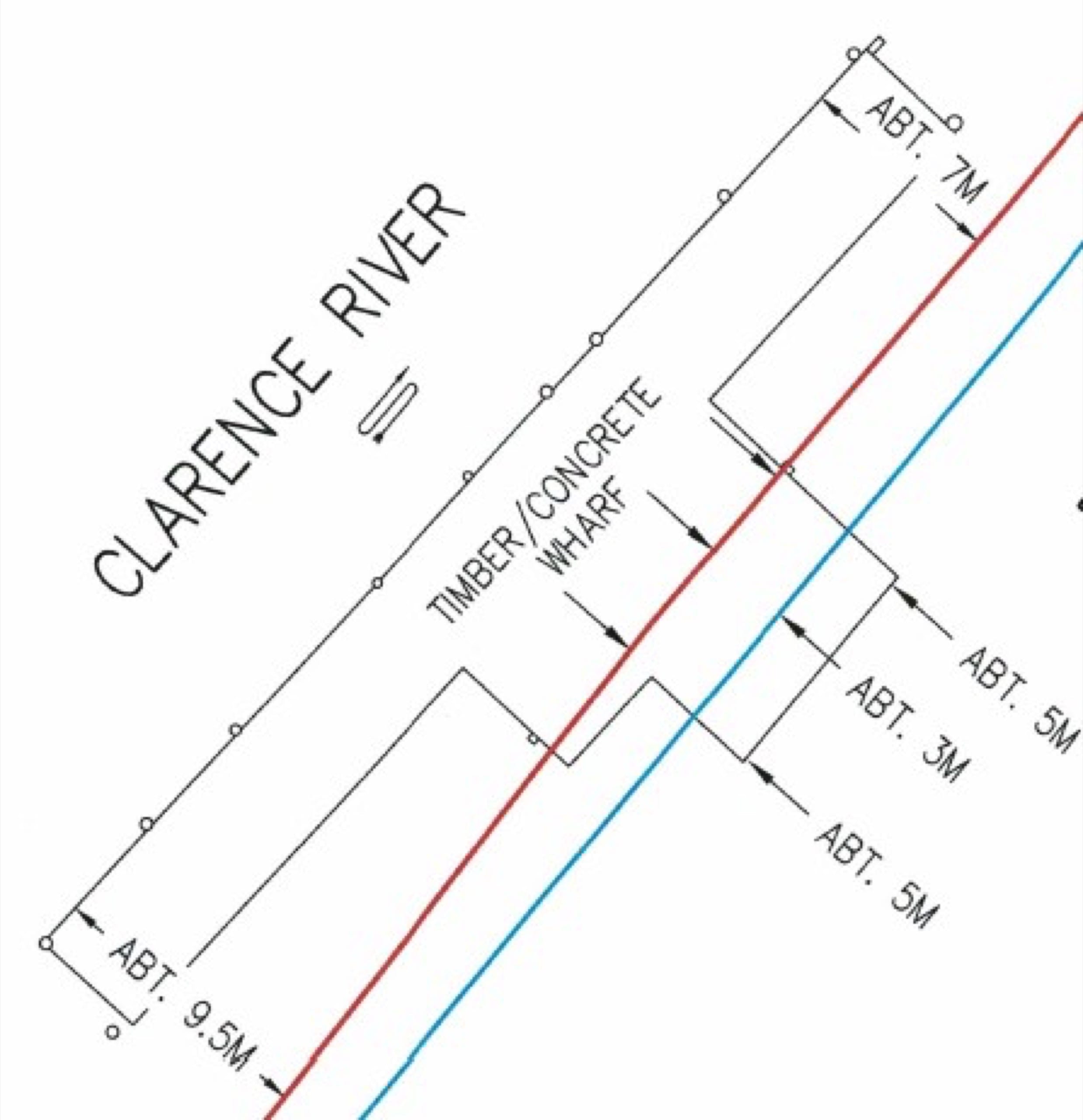
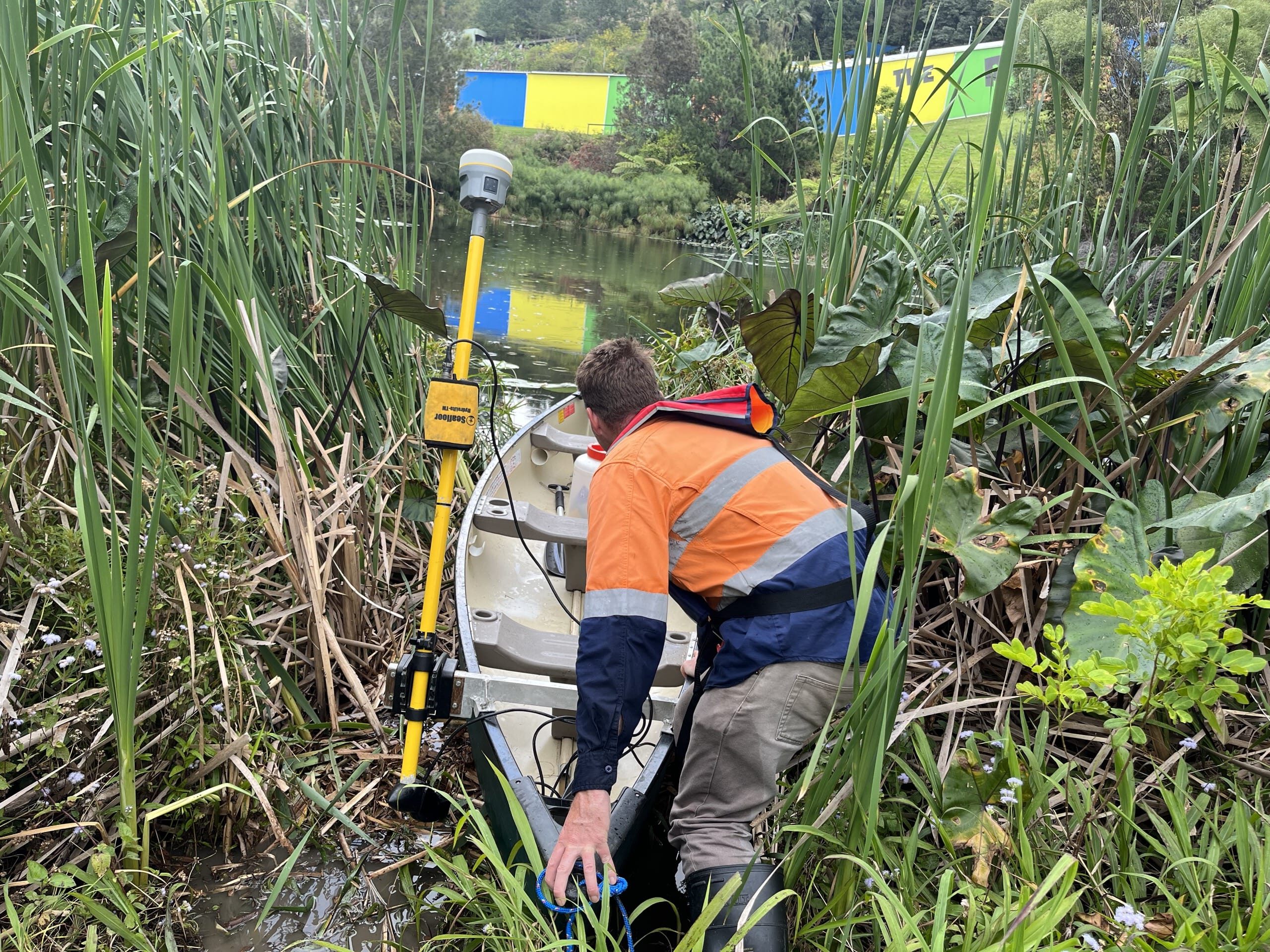
In response to the requirement to determine the precise locations of public and private improvements in the vicinity of Crown Lands, Coffs Clarence Surveying and Spatial has been actively engaged in conducting a series of extensive identification surveys on behalf of Crown Land. These large-scale surveys are particularly noteworthy, as they often necessitate the re-establishment of boundaries that have not been surveyed since the late 1800s.
A significant component of these surveys involves the complex task of defining Mean High Water surveys along the mighty Clarence River. This intricate work not only requires advanced surveying techniques but also entails delving into historical records to uncover boundary locations and land use history dating back to the late 1800s.
Coffs Clarence Surveying and Spatial takes pride in relishing the opportunity to contribute to the preservation and understanding of the rich history, land uses, and boundary locations within the Clarence Valley region.
Client
CTK Natural Resources
Project – Drone Survey of Quarry
Location – Bago Forest Quarry
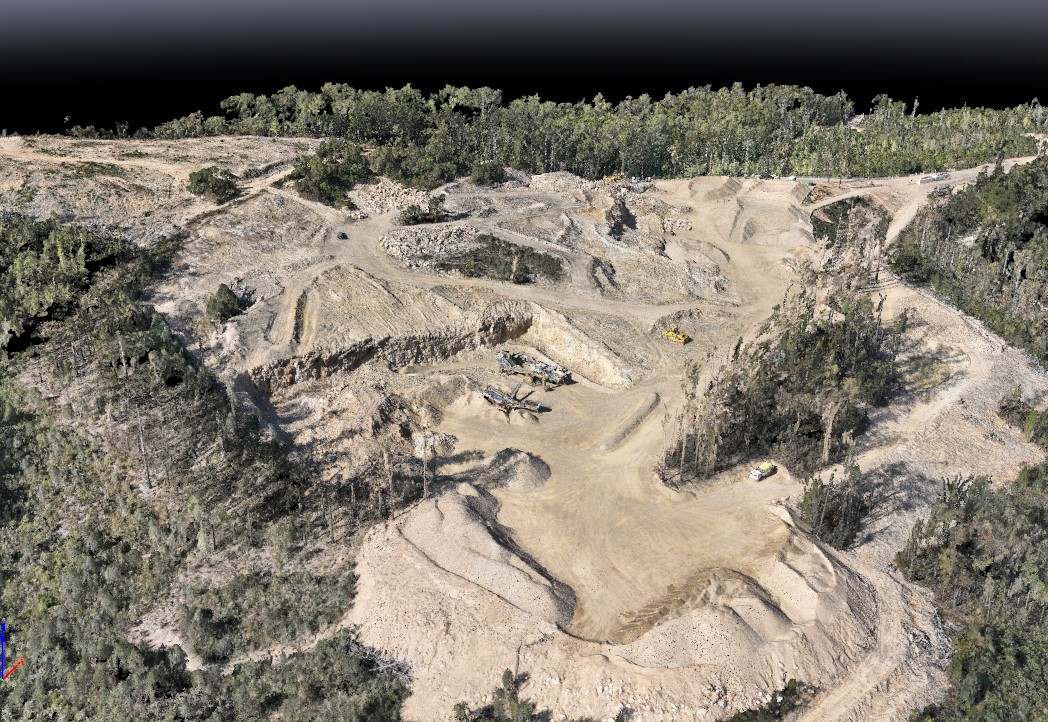
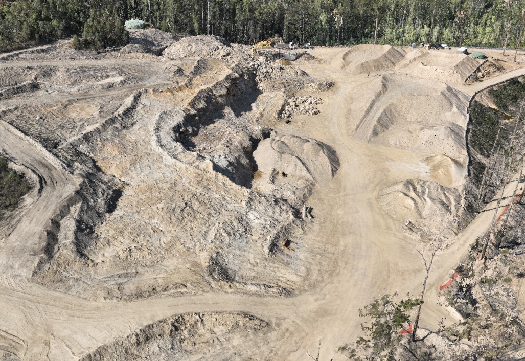
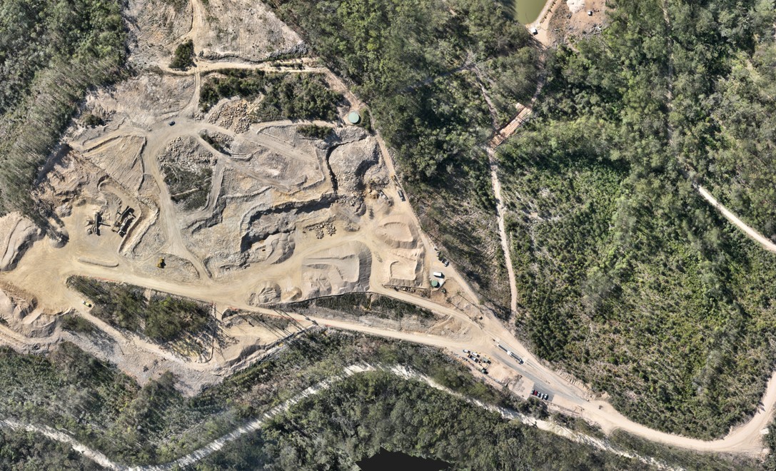
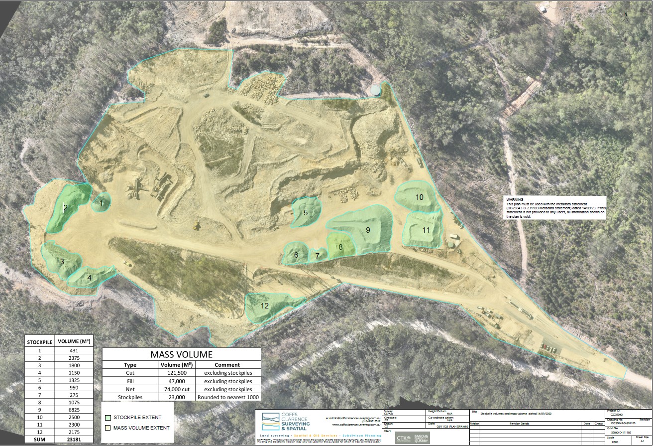
In meeting the annual reporting requirements for mass volume and quarry footprint, Coffs Clarence Surveying and Spatial takes pride in delivering the necessary documentation and precise mass volume calculations essential for compliance with State Forest regulations. Leveraging a diverse range of data sources, including LIDAR, photogrammetry, and GPS technology, our approach ensures accuracy and reliability in reporting. This comprehensive and multi-sourced data approach not only ensures compliance but also facilitates a cost-effective solution, aligning with the economic considerations of our clients.
Coffs Clarence Surveying and Spatial remains committed to delivering high-quality documentation and calculations that not only meet regulatory requirements but also contribute to the efficient and sustainable management of quarry operations. Our economic cost base reflects our dedication to providing value-driven solutions without compromising on the accuracy and integrity of the reporting process.
If you are looking for an experienced registered surveyor for land surveying, sub-division or spatial/mapping services, contact us or give us a call on 0413 515 519 today.